The construction industry –a cornerstone in every economy worldwide– is at risk. The sector’s productivity has barely grown 1% a year for the past two decades and profit margins are at an all-time low [1]. As a result, construction companies must reduce costs and more specifically failure costs, that can account for up to 20% of the project’s budget [2]. Failure costs are caused by (1) inefficient management of a building project, (2) failure to monitor progress resulting in delays and (3) failure to meet the quality tolerances which lead to costly repairs. Furthermore, construction failures result in discrepancies between the reality and the designs which is a serious threat to industries that rely on the spatial accuracy of the BIM once the structure is completed [3].
A crucial step in reducing failure costs is to systematically monitor (progress, quality) the structure, architecture and MEP execution phases on construction sites [4]. Current manual inspections cannot deliver on this as they are inaccurate, irregular and extremely labor-intensive [5]. Therefore, construction site monitoring must be automated and digitized. To spark innovation in this field, we present the ITC-KUL-CONSTRUCTOR dataset.
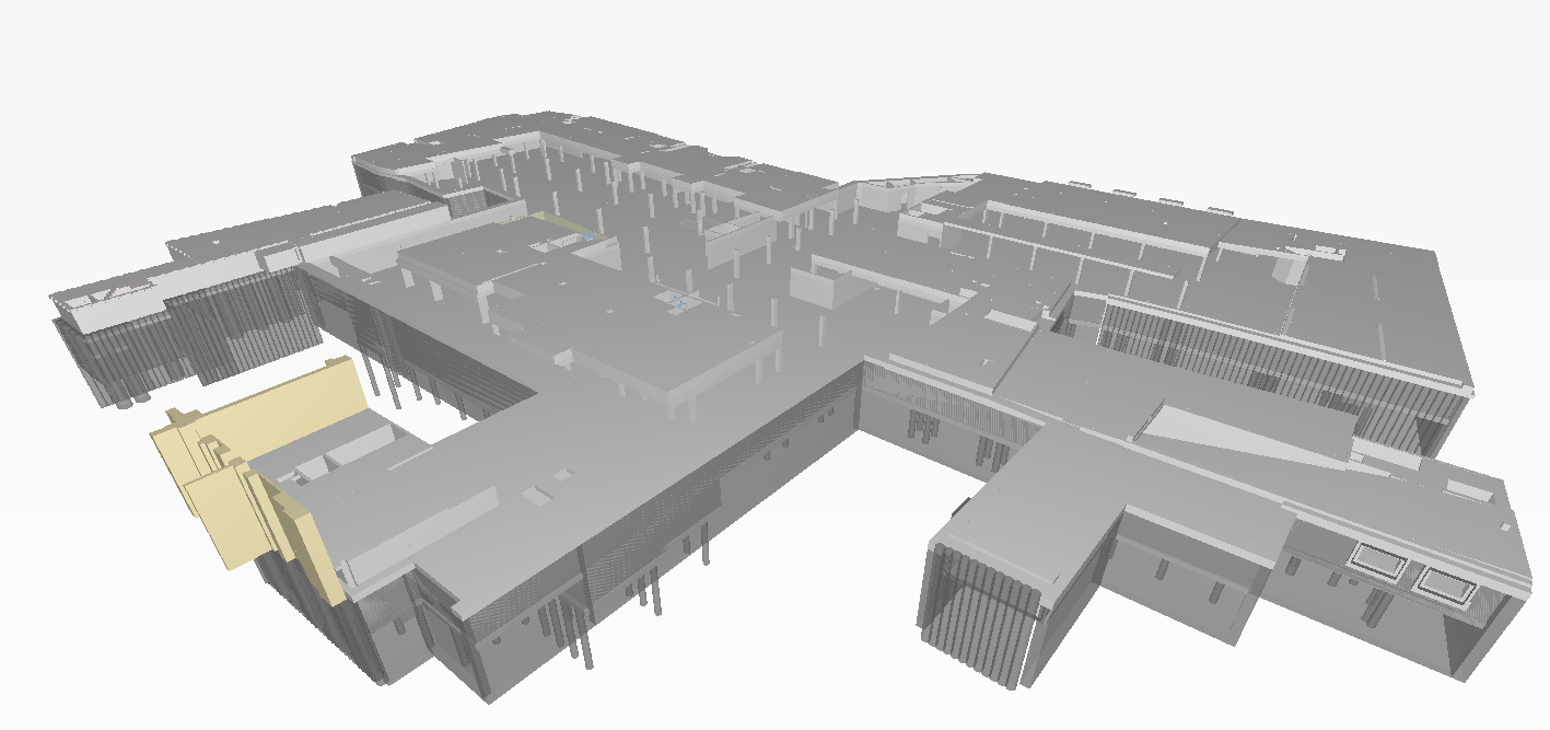
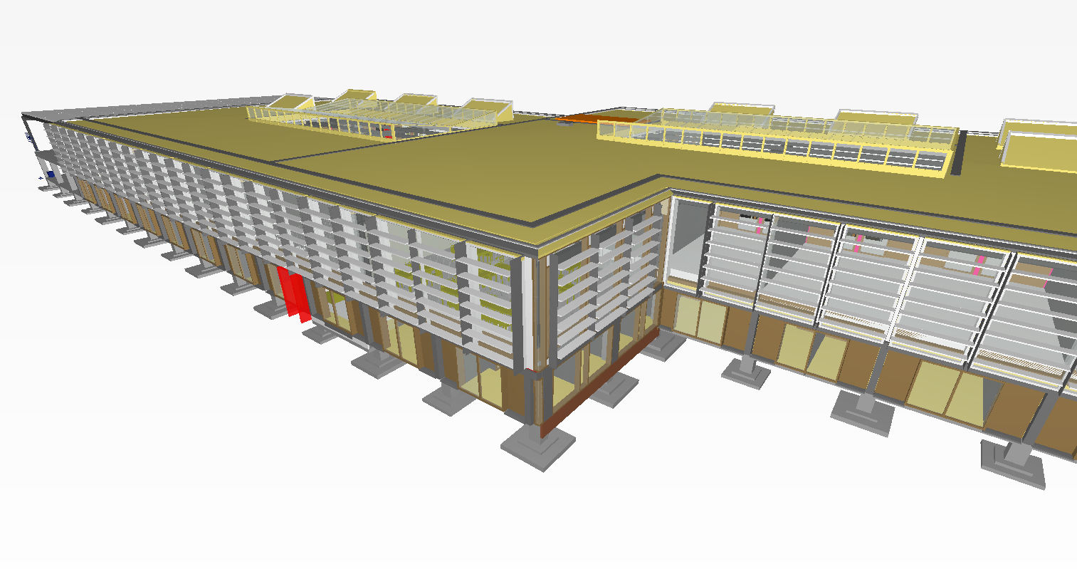
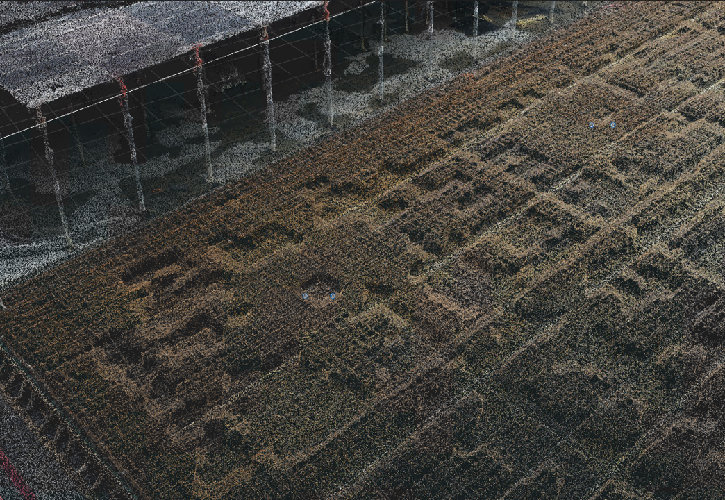
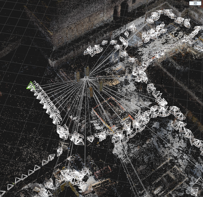
The dataset consists of two construction sites (ITC and KUL) that were periodically captured using close-range sensing observations such as terrestrial laser scanners, hand-held imagery and so on. The goal of this dataset is to to fuel 6 Open Source Competitions that will innovate construction site monitoring. Go and take a look at the different competitions at PAPERS WITH CODE.

This Benchmark is powered by GEOMAPI, a Python API developed by KU Leuven to manage close-range sensing observations. It features functions to read and process all sorts of geospatial resources including point clouds, imagery, polygonal meshes and so on. In the REPOSITORY attached to this benchmark, we provide a number of scripts to help you parse the data. The details on the parsing can be found on the individual competitions pages e.g. ITC. For more information on GEOMAPI, come visit us at our gitlab pages.

Refer to the following publication when referencing this dataset.
            @article{ITC-KUL-2023,
                author = {Bassier M., Lehtola V., and so on},
                doi = {XXX},
                issn = {0031-8663},
                journal = {ISPRS Journal of Photogrammetry and Remote Sensing},
                keywords = {BIM, Construction Sites, Close-range Sensing, },
                number = {March 2023},
                pages = {1--X},
                title = {ITC-KUL-CONSTRUCTOR: a Construction Monitoring Benchmark},
                url = {X},
                volume = X,
                year = {2023}
            }
REFERENCES
- McKinsey Global Institute, “Reinventing Construction: A Route To Higher Productivity,” McKinsey Co., no. February, p. 20, 2017.
- P. E. D. Love, P. Teo, and J. Morrison, “Revisiting Quality Failure Costs in Construction,” J. Constr. Eng. Manag., vol. 144, no. 2, p. 05017020, 2018.
- R. Volk, J. Stengel, and F. Schultmann, “Building Information Modeling (BIM) for existing buildings - Literature review and future needs,” Autom. Constr., vol. 38, pp. 109-127, 2014.
- F. Bosché, M. Ahmed, Y. Turkan, C. T. Haas, and R. Haas, “The value of integrating Scan-to-BIM and Scan-vs-BIM techniques for construction monitoring using laser scanning and BIM: The case of cylindrical MEP components,” Autom. Constr., vol. 49, pp. 201–213, Jun. 2014.
- Q. Wang and M. K. Kim, “Applications of 3D point cloud data in the construction industry: A fifteen-year review from 2004 to 2018,” Adv. Eng. Informatics, vol. 2019, pp. 306–2019, Jan. 2019.